TYPE:
SENSOR
LAYER:
DS_PHR1A_201304041503395_FR1_PX_W070S31_0320_00592
FORMAT:
DIMAP
RASTER:
image/jp2
General Information
Map Name
Geometric Processing Level
Radiometric Processing Level
BASIC
Image dimensions
Number of columns
2600
Number of rows
3219
Number of spectral bands
4
Dataset framing
Vertice
Longitude (DEG)
Latitude (DEG)
Row
Col
#1
-69.8358167303238
-30.1484394951796
1
#2
-69.76912139963564
-30.15436601900348
#3
-69.77049462556658
-30.22117630216164
#4
-69.84043680251321
-30.21339411842298
Dataset sources
PHR
Coordinate Reference System
Projected Coordinate System
Geocoding tables identification
EPSG(6.3)
Production
Production Date
2013-04-09T12:22:09.154
Job identification
613622101-002
Dataset Producer Identification
SISA
Producer link
http://www.spotimage.fr
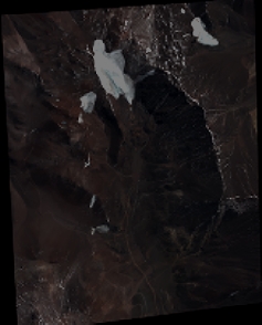
Quicklook
Copyright