TYPE:
SENSOR
LAYER:
DS_PHR1A_201304041503395_FR1_PX_W070S31_0320_00592
FORMAT:
DIMAP
RASTER:
image/jp2
General Information
Map Name
Geometric Processing Level
Radiometric Processing Level
BASIC
Image dimensions
Number of columns
10391
Number of rows
12876
Number of spectral bands
1
Dataset framing
Vertice
Longitude (DEG)
Latitude (DEG)
Row
Col
#1
-69.83578888657034
-30.14844671118819
#2
-69.76915284350518
-30.15436738331476
#3
-69.77051146047373
-30.2211849565327
#4
-69.84040489106502
-30.21340355439271
Dataset sources
PHR
Coordinate Reference System
Projected Coordinate System
Geocoding tables identification
EPSG(6.3)
Production
Production Date
2013-04-09T12:21:27.976
Job identification
613622101-001
Dataset Producer Identification
SISA
Producer link
http://www.spotimage.fr
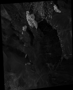
Quicklook
Copyright