TYPE:
SENSOR
LAYER:
DS_PHR1B_201410261052564_FR1_PX_E001N42_0619_01085
FORMAT:
DIMAP
RASTER:
image/jp2
General Information
Map Name
Geometric Processing Level
Radiometric Processing Level
BASIC
Image dimensions
Number of columns
21149
Number of rows
24068
Number of spectral bands
1
Dataset framing
Vertice
Longitude (DEG)
Latitude (DEG)
Row
Col
#1
1.358699964161631
42.81759581817009
#2
1.489308757006325
42.81747519510215
#3
1.488537139284862
42.71017105329923
#4
1.359813627639047
42.71008056225577
Dataset sources
PHR
Coordinate Reference System
Projected Coordinate System
Geocoding tables identification
EPSG(6.3)
Production
Production Date
2014-10-30T14:07:39.586
Job identification
1100302101-003
Dataset Producer Identification
Astrium Services / Spot Image
Producer link
http://www.astrium-geo.com
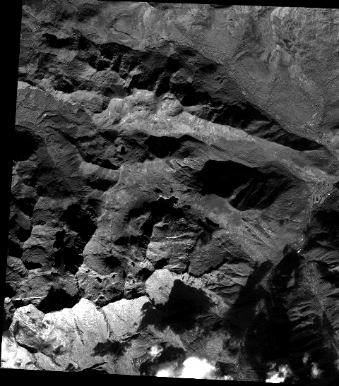
Quicklook
Copyright