TYPE:
SENSOR
LAYER:
DS_PHR1A_201503111056078_FR1_PX_E001N42_0619_01094
FORMAT:
DIMAP
RASTER:
image/jp2
General Information
Map Name
Geometric Processing Level
Radiometric Processing Level
BASIC
Image dimensions
Number of columns
20793
Number of rows
23383
Number of spectral bands
1
Dataset framing
Vertice
Longitude (DEG)
Latitude (DEG)
Row
Col
#1
1.359755475768763
42.81840476841337
#2
1.489162684860968
42.81950565110369
#3
1.489073472994202
42.71011290566272
#4
1.360001220751134
42.71192694584048
Dataset sources
PHR
Coordinate Reference System
Projected Coordinate System
Geocoding tables identification
EPSG(6.3)
Production
Production Date
2015-03-12T10:54:38.788
Job identification
1254162101-001
Dataset Producer Identification
Astrium Services / Spot Image
Producer link
http://www.astrium-geo.com
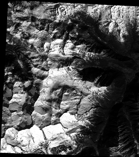
Quicklook
Copyright