TYPE:
SENSOR
LAYER:
DS_PHR1A_201806261051015_FR1_PX_E002N48_0916_00906
FORMAT:
DIMAP
RASTER:
image/jp2
General Information
Map Name
Geometric Processing Level
Radiometric Processing Level
BASIC
Image dimensions
Number of columns
5435
Number of rows
4986
Number of spectral bands
4
Dataset framing
Vertice
Longitude (DEG)
Latitude (DEG)
Row
Col
#1
2.659170796272591
48.67892957054748
1
#2
2.813561344208305
48.68108043794568
#3
2.812947514403023
48.5894404320229
#4
2.659020145110982
48.58700372360615
Dataset sources
PHR
Coordinate Reference System
Projected Coordinate System
Geocoding tables identification
EPSG(6.3)
Production
Production Date
2019-01-30T14:11:41.656
Job identification
3729434101-2
Dataset Producer Identification
AIRBUS DS GEO
Producer link
http://www.geo-airbusds.com
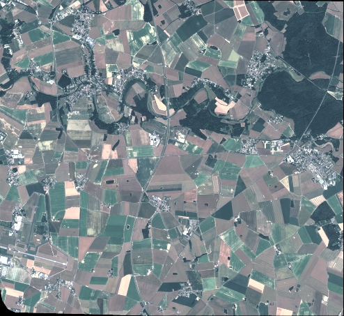
Quicklook
Copyright