TYPE:
SENSOR
LAYER:
DS_PHR1A_201806261051309_FR1_PX_E002N48_0916_00891
FORMAT:
DIMAP
RASTER:
image/jp2
General Information
Map Name
Geometric Processing Level
Radiometric Processing Level
BASIC
Image dimensions
Number of columns
5432
Number of rows
4902
Number of spectral bands
4
Dataset framing
Vertice
Longitude (DEG)
Latitude (DEG)
Row
Col
#1
2.659126212287532
48.67921663607182
1
#2
2.811104954058079
48.67672694016654
#3
2.81075250668562
48.58617637547984
#4
2.659176810596188
48.58850430375435
Dataset sources
PHR
Coordinate Reference System
Projected Coordinate System
Geocoding tables identification
EPSG(6.3)
Production
Production Date
2019-01-30T14:31:27.005
Job identification
3729437101-2
Dataset Producer Identification
AIRBUS DS GEO
Producer link
http://www.geo-airbusds.com
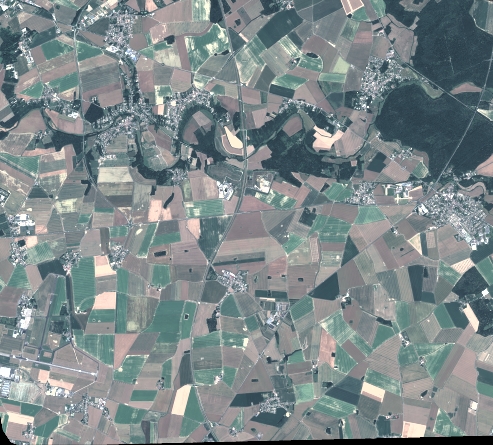
Quicklook
Copyright