TYPE:
SENSOR
LAYER:
DS_PHR1A_201411080926491_FR1_PX_E015S05_0418_02010
FORMAT:
DIMAP
RASTER:
image/jp2
General Information
Map Name
Geometric Processing Level
Radiometric Processing Level
BASIC
Image dimensions
Number of columns
8673
Number of rows
11171
Number of spectral bands
4
Dataset framing
Vertice
Longitude (DEG)
Latitude (DEG)
Row
Col
#1
15.22272461108359
-4.151121868088731
1
#2
15.38448600575162
-4.149591038207765
#3
15.38436458585893
-4.364872027983187
#4
15.22244856218809
-4.367062301567501
Dataset sources
PHR
Coordinate Reference System
Projected Coordinate System
Geocoding tables identification
EPSG(6.3)
Production
Production Date
2015-07-03T08:35:53.049
Job identification
1362687101-004
Dataset Producer Identification
AIRBUS DS GEO
Producer link
http://www.geo-airbusds.com
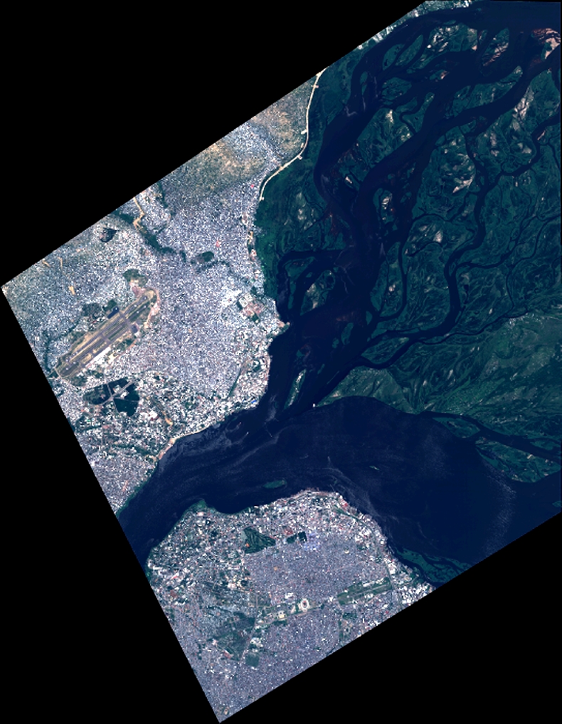
Quicklook
Copyright