TYPE:
SENSOR
LAYER:
DS_PHR1A_201411080927464_FR1_PX_E015S05_0418_01966
FORMAT:
DIMAP
RASTER:
image/jp2
General Information
Map Name
Geometric Processing Level
Radiometric Processing Level
BASIC
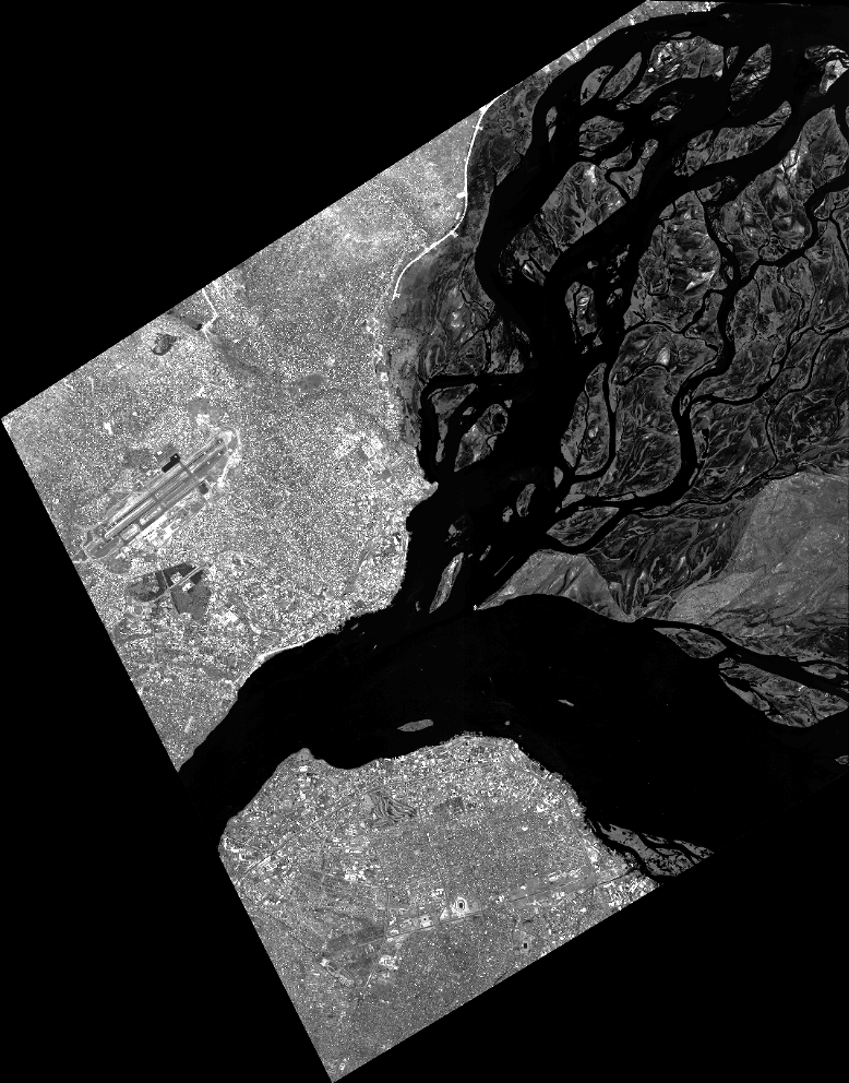
Image dimensions
Number of columns
34243
Number of rows
43652
Number of spectral bands
1
Dataset framing
Vertice
Longitude (DEG)
Latitude (DEG)
Row
Col
#1
15.22241416613942
-4.153887677402799
#2
15.38433383044243
-4.148945065462253
#3
15.38447528829763
-4.363661267575853
#4
15.22255687031857
-4.36774288061149
Dataset sources
PHR
Coordinate Reference System
Projected Coordinate System
Geocoding tables identification
EPSG(6.3)
Production
Production Date
2015-07-03T08:35:45.167
Job identification
1362687101-002
Dataset Producer Identification
AIRBUS DS GEO
Producer link
http://www.geo-airbusds.com
Quicklook
Copyright