TYPE:
SENSOR
LAYER:
DS_PHR1A_201411080927210_FR1_PX_E015S05_0418_02123
FORMAT:
DIMAP
RASTER:
image/jp2
General Information
Map Name
Geometric Processing Level
Radiometric Processing Level
BASIC
Image dimensions
Number of columns
35348
Number of rows
47340
Number of spectral bands
1
Dataset framing
Vertice
Longitude (DEG)
Latitude (DEG)
Row
Col
#1
15.22255240307738
-4.153927531073934
#2
15.38167653303646
-4.153627297563533
#3
15.38174516919547
-4.365695735012991
#4
15.22251856620342
-4.36579496908884
Dataset sources
PHR
Coordinate Reference System
Projected Coordinate System
Geocoding tables identification
EPSG(6.3)
Production
Production Date
2015-07-03T08:36:31.829
Job identification
1362687101-003
Dataset Producer Identification
AIRBUS DS GEO
Producer link
http://www.geo-airbusds.com
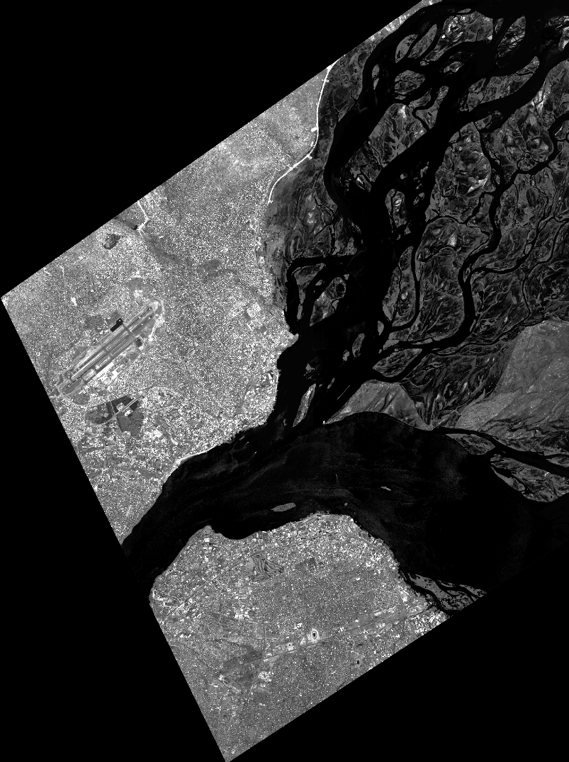
Quicklook
Copyright