TYPE:
SENSOR
LAYER:
DS_PHR1A_201803041407535_FR1_PX_W059S35_0513_01783
FORMAT:
DIMAP
RASTER:
image/jp2
General Information
Map Name
Geometric Processing Level
Radiometric Processing Level
BASIC
Image dimensions
Number of columns
40000
Number of rows
39688
Number of spectral bands
1
Dataset framing
Vertice
Longitude (DEG)
Latitude (DEG)
Row
Col
#1
-58.67179128867853
-34.37633808176567
#2
-58.44657666460484
-34.42523685655858
#3
-58.49776327077983
-34.60716840040388
#4
-58.72306474068393
-34.55698223200631
Dataset sources
PHR
Coordinate Reference System
Projected Coordinate System
Geocoding tables identification
EPSG(6.3)
Production
Production Date
2018-05-09T14:24:20.796
Job identification
PRG_FC_170699-001
Dataset Producer Identification
AIRBUS DS GEO
Producer link
http://www.geo-airbusds.com
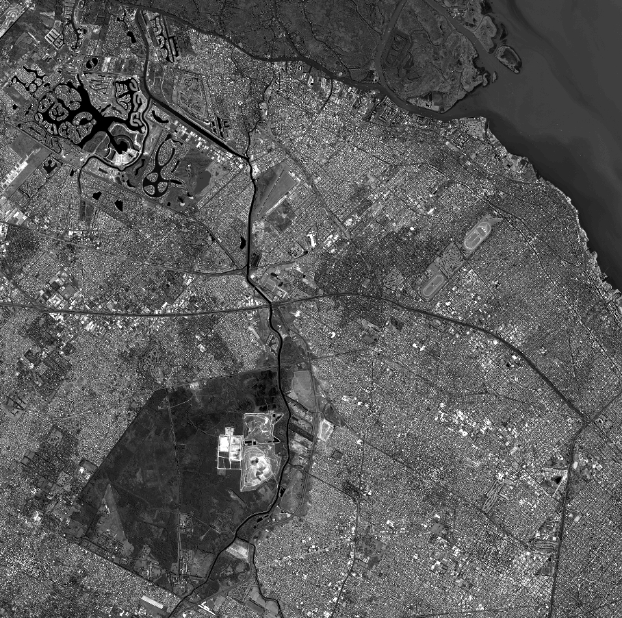
Quicklook
Copyright