TYPE:
SENSOR
LAYER:
DS_PHR1A_201803041408213_FR1_PX_W059S35_0513_01764
FORMAT:
DIMAP
RASTER:
image/jp2
General Information
Map Name
Geometric Processing Level
Radiometric Processing Level
BASIC
Image dimensions
Number of columns
40000
Number of rows
39260
Number of spectral bands
1
Dataset framing
Vertice
Longitude (DEG)
Latitude (DEG)
Row
Col
#1
-58.67353792023775
-34.38156768182297
#2
-58.44443730536692
-34.41850312208962
#3
-58.49546933994157
-34.59973159392575
#4
-58.724614849165
-34.56152531292313
Dataset sources
PHR
Coordinate Reference System
Projected Coordinate System
Geocoding tables identification
EPSG(6.3)
Production
Production Date
2018-05-09T14:26:19.254
Job identification
PRG_FC_170701-001
Dataset Producer Identification
AIRBUS DS GEO
Producer link
http://www.geo-airbusds.com
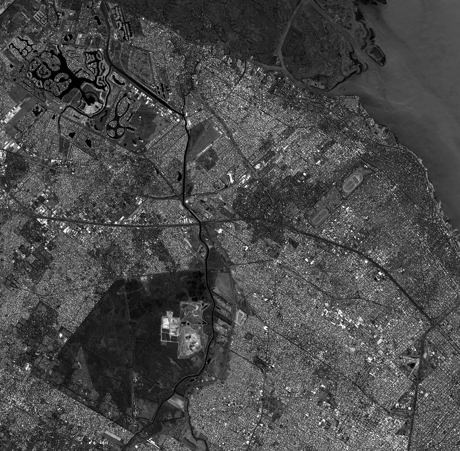
Quicklook
Copyright