TYPE:
SENSOR
LAYER:
DS_PHR1A_201803041408213_FR1_PX_W059S35_0513_01764
FORMAT:
DIMAP
RASTER:
image/jp2
General Information
Map Name
Geometric Processing Level
Radiometric Processing Level
BASIC
Image dimensions
Number of columns
10000
Number of rows
9815
Number of spectral bands
4
Dataset framing
Vertice
Longitude (DEG)
Latitude (DEG)
Row
Col
#1
-58.67353144422097
-34.38157599005036
1
#2
-58.44444787010208
-34.41850865584826
#3
-58.49547600278033
-34.59972322679528
#4
-58.72460445955282
-34.56151990819626
Dataset sources
PHR
Coordinate Reference System
Projected Coordinate System
Geocoding tables identification
EPSG(6.3)
Production
Production Date
2018-05-09T14:25:36.040
Job identification
PRG_FC_170701-002
Dataset Producer Identification
AIRBUS DS GEO
Producer link
http://www.geo-airbusds.com
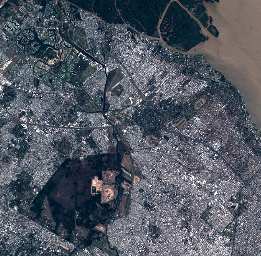
Quicklook
Copyright