TYPE:
SENSOR
LAYER:
DS_PHR1A_201803061352495_FR1_PX_W059S35_0513_01724
FORMAT:
DIMAP
RASTER:
image/jp2
General Information
Map Name
Geometric Processing Level
Radiometric Processing Level
BASIC
Image dimensions
Number of columns
40000
Number of rows
38360
Number of spectral bands
1
Dataset framing
Vertice
Longitude (DEG)
Latitude (DEG)
Row
Col
#1
-58.67886452045249
-34.38062013912661
#2
-58.44037562574044
-34.41819653276048
#3
-58.49077891219664
-34.59712762562871
#4
-58.73018144329854
-34.56103644567096
Dataset sources
PHR
Coordinate Reference System
Projected Coordinate System
Geocoding tables identification
EPSG(6.3)
Production
Production Date
2018-05-09T15:10:38.718
Job identification
PRG_FC_170702-001
Dataset Producer Identification
AIRBUS DS GEO
Producer link
http://www.geo-airbusds.com
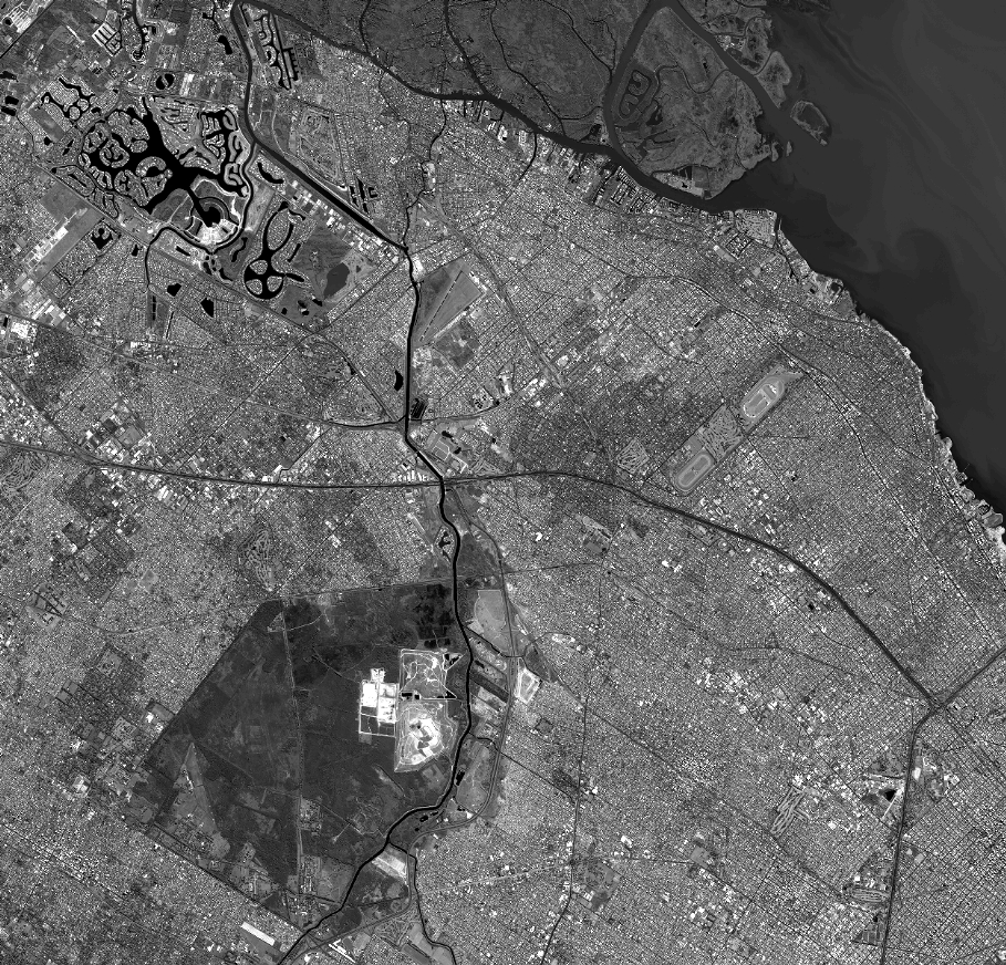
Quicklook
Copyright