TYPE:
SENSOR
LAYER:
DS_PHR1A_201803061353049_FR1_PX_W059S35_0513_01724
FORMAT:
DIMAP
RASTER:
image/jp2
General Information
Map Name
Geometric Processing Level
Radiometric Processing Level
BASIC
Image dimensions
Number of columns
40000
Number of rows
38360
Number of spectral bands
1
Dataset framing
Vertice
Longitude (DEG)
Latitude (DEG)
Row
Col
#1
-58.67707144125892
-34.37969057687651
#2
-58.44407343650585
-34.42578123546636
#3
-58.49334092571401
-34.6005215852166
#4
-58.72721372160745
-34.55584809602237
Dataset sources
PHR
Coordinate Reference System
Projected Coordinate System
Geocoding tables identification
EPSG(6.3)
Production
Production Date
2018-05-09T15:10:59.939
Job identification
PRG_FC_170703-001
Dataset Producer Identification
AIRBUS DS GEO
Producer link
http://www.geo-airbusds.com
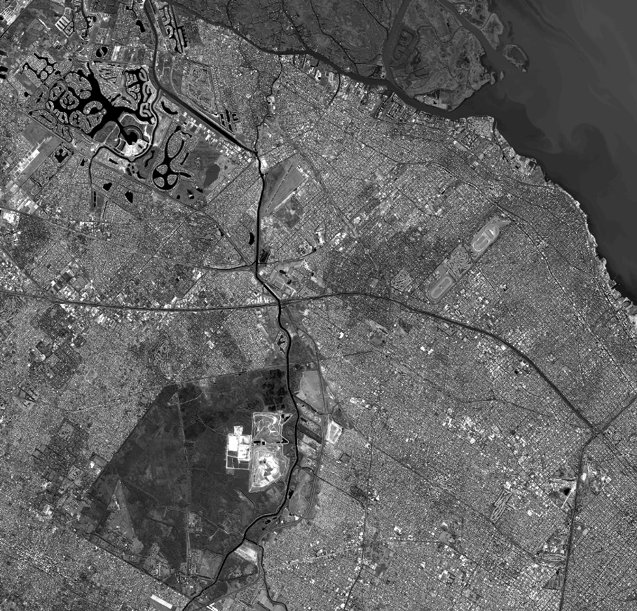
Quicklook
Copyright