TYPE:
SENSOR
LAYER:
DS_PHR1A_201803061353049_FR1_PX_W059S35_0513_01724
FORMAT:
DIMAP
RASTER:
image/jp2
General Information
Map Name
Geometric Processing Level
Radiometric Processing Level
BASIC
Image dimensions
Number of columns
10000
Number of rows
9590
Number of spectral bands
4
Dataset framing
Vertice
Longitude (DEG)
Latitude (DEG)
Row
Col
#1
-58.67706451176887
-34.37969922031964
1
#2
-58.44408405627954
-34.42578634592676
#3
-58.49334795122993
-34.60051305465422
#4
-58.72720328164755
-34.55584283931459
Dataset sources
PHR
Coordinate Reference System
Projected Coordinate System
Geocoding tables identification
EPSG(6.3)
Production
Production Date
2018-05-09T15:10:39.454
Job identification
PRG_FC_170703-002
Dataset Producer Identification
AIRBUS DS GEO
Producer link
http://www.geo-airbusds.com
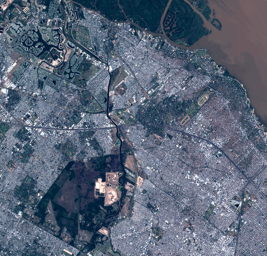
Quicklook
Copyright