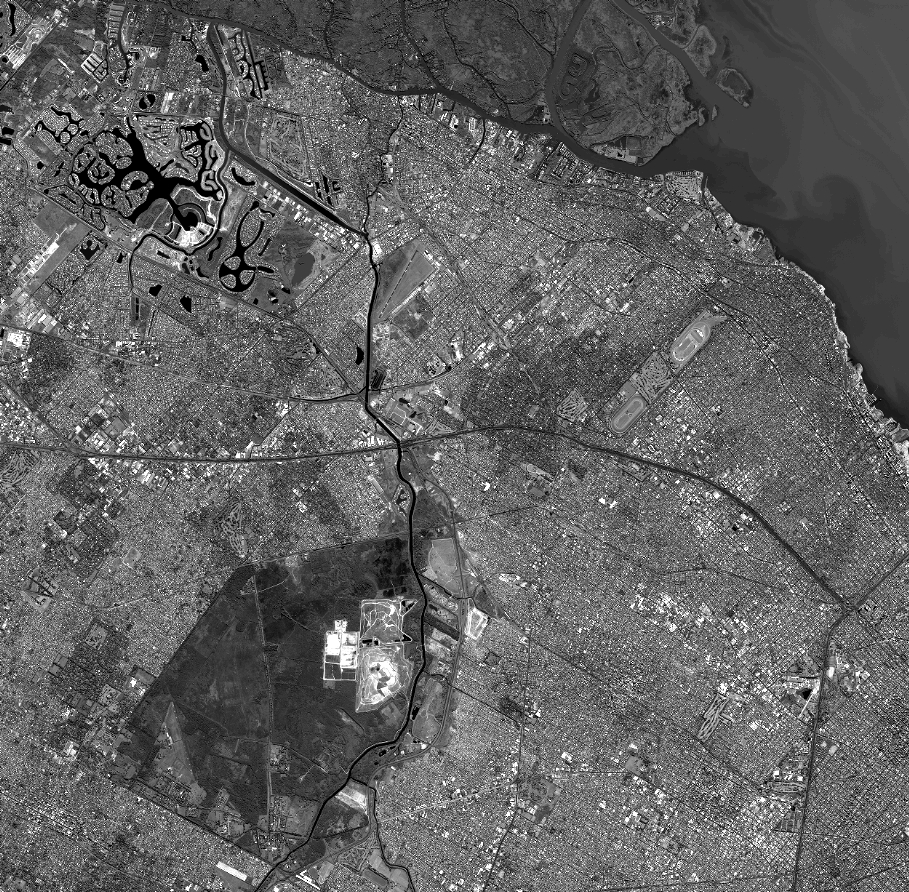
TYPE:
SENSOR
LAYER:
DS_PHR1A_201803061353174_FR1_PX_W059S35_0513_01764
FORMAT:
DIMAP
RASTER:
image/jp2
General Information
Map Name
Geometric Processing Level
Radiometric Processing Level
BASIC
Image dimensions
Number of columns
40000
Number of rows
39260
Number of spectral bands
1
Dataset framing
Vertice
Longitude (DEG)
Latitude (DEG)
Row
Col
#1
-58.67582183693064
-34.37252839417604
#2
-58.44338892102319
-34.42616333867819
#3
-58.49460030833666
-34.60772024945113
#4
-58.72786190960088
-34.55557518230457
Dataset sources
PHR
Coordinate Reference System
Projected Coordinate System
Geocoding tables identification
EPSG(6.3)
Production
Production Date
2018-05-09T15:12:15.973
Job identification
PRG_FC_170704-001
Dataset Producer Identification
AIRBUS DS GEO
Producer link
http://www.geo-airbusds.com
Quicklook
Copyright