TYPE:
SENSOR
LAYER:
DS_PHR1A_201803061353174_FR1_PX_W059S35_0513_01764
FORMAT:
DIMAP
RASTER:
image/jp2
General Information
Map Name
Geometric Processing Level
Radiometric Processing Level
BASIC
Image dimensions
Number of columns
10000
Number of rows
9815
Number of spectral bands
4
Dataset framing
Vertice
Longitude (DEG)
Latitude (DEG)
Row
Col
#1
-58.67581518859456
-34.37253734846646
1
#2
-58.44339957465573
-34.42616827257137
#3
-58.49460696874688
-34.60771144219055
#4
-58.72785115246654
-34.5555701592592
Dataset sources
PHR
Coordinate Reference System
Projected Coordinate System
Geocoding tables identification
EPSG(6.3)
Production
Production Date
2018-05-09T15:11:45.344
Job identification
PRG_FC_170704-002
Dataset Producer Identification
AIRBUS DS GEO
Producer link
http://www.geo-airbusds.com
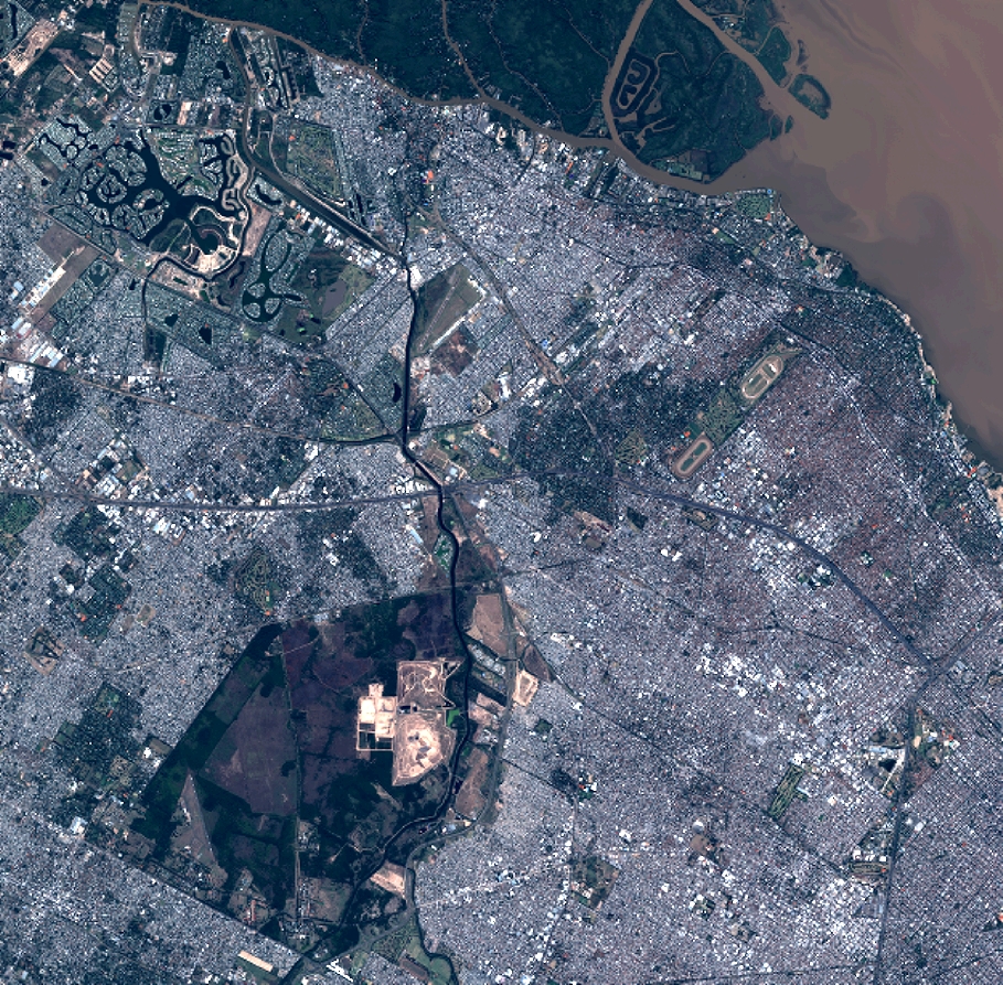
Quicklook
Copyright