TYPE:
SENSOR
LAYER:
DS_PHR1B_201802071401153_FR1_PX_W059S35_0513_01724
FORMAT:
DIMAP
RASTER:
image/jp2
General Information
Map Name
Geometric Processing Level
Radiometric Processing Level
BASIC
Image dimensions
Number of columns
40000
Number of rows
38248
Number of spectral bands
1
Dataset framing
Vertice
Longitude (DEG)
Latitude (DEG)
Row
Col
#1
-58.66941983313904
-34.38248507546218
#2
-58.45263041879538
-34.42371697015303
#3
-58.50101786419559
-34.59558267754176
#4
-58.7183094676603
-34.55442528774522
Dataset sources
PHR
Coordinate Reference System
Projected Coordinate System
Geocoding tables identification
EPSG(6.3)
Production
Production Date
2018-05-09T10:35:19.290
Job identification
PRG_FC_170691-001
Dataset Producer Identification
AIRBUS DS GEO
Producer link
http://www.geo-airbusds.com
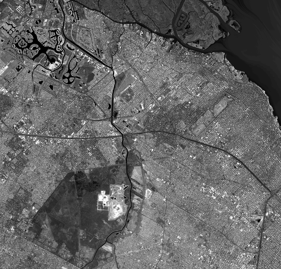
Quicklook
Copyright