TYPE:
SENSOR
LAYER:
DS_PHR1B_201802071401153_FR1_PX_W059S35_0513_01724
FORMAT:
DIMAP
RASTER:
image/jp2
General Information
Map Name
Geometric Processing Level
Radiometric Processing Level
BASIC
Image dimensions
Number of columns
10000
Number of rows
9562
Number of spectral bands
4
Dataset framing
Vertice
Longitude (DEG)
Latitude (DEG)
Row
Col
#1
-58.66941374061411
-34.3824935414734
1
#2
-58.45264043670952
-34.42372215878673
#3
-58.50102410988121
-34.59557430951869
#4
-58.718299524665
-34.55442021895129
Dataset sources
PHR
Coordinate Reference System
Projected Coordinate System
Geocoding tables identification
EPSG(6.3)
Production
Production Date
2018-05-09T10:33:47.171
Job identification
PRG_FC_170691-002
Dataset Producer Identification
AIRBUS DS GEO
Producer link
http://www.geo-airbusds.com
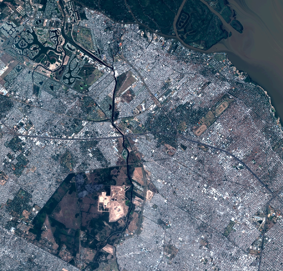
Quicklook
Copyright