TYPE:
SENSOR
LAYER:
DS_PHR1B_201802071401306_FR1_PX_W059S35_0513_01800
FORMAT:
DIMAP
RASTER:
image/jp2
General Information
Map Name
Geometric Processing Level
Radiometric Processing Level
BASIC
Image dimensions
Number of columns
40000
Number of rows
39956
Number of spectral bands
1
Dataset framing
Vertice
Longitude (DEG)
Latitude (DEG)
Row
Col
#1
-58.66820838718623
-34.38229510135104
#2
-58.45381396065053
-34.42398170558592
#3
-58.50332173249746
-34.59971551685389
#4
-58.71820521611221
-34.55808858228502
Dataset sources
PHR
Coordinate Reference System
Projected Coordinate System
Geocoding tables identification
EPSG(6.3)
Production
Production Date
2018-05-09T10:36:08.829
Job identification
PRG_FC_170692-001
Dataset Producer Identification
AIRBUS DS GEO
Producer link
http://www.geo-airbusds.com
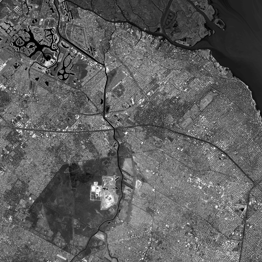
Quicklook
Copyright