TYPE:
SENSOR
LAYER:
DS_PHR1B_201802071401306_FR1_PX_W059S35_0513_01800
FORMAT:
DIMAP
RASTER:
image/jp2
General Information
Map Name
Geometric Processing Level
Radiometric Processing Level
BASIC
Image dimensions
Number of columns
10000
Number of rows
9989
Number of spectral bands
4
Dataset framing
Vertice
Longitude (DEG)
Latitude (DEG)
Row
Col
#1
-58.66820226081406
-34.38230323350798
1
#2
-58.45382385358877
-34.42398672528179
#3
-58.50332793680541
-34.59970737193996
#4
-58.71819530488217
-34.55808354949581
Dataset sources
PHR
Coordinate Reference System
Projected Coordinate System
Geocoding tables identification
EPSG(6.3)
Production
Production Date
2018-05-09T10:35:33.226
Job identification
PRG_FC_170692-002
Dataset Producer Identification
AIRBUS DS GEO
Producer link
http://www.geo-airbusds.com
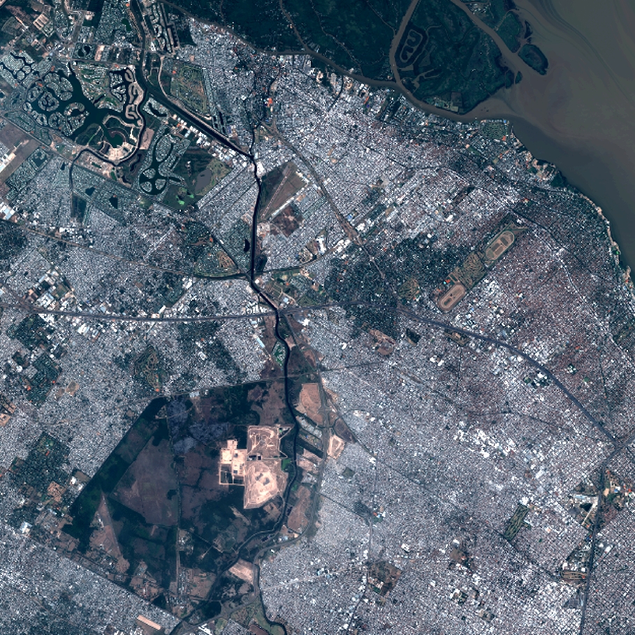
Quicklook
Copyright