TYPE:
SENSOR
LAYER:
DS_PHR1B_201802071401428_FR1_PX_W059S35_0513_01764
FORMAT:
DIMAP
RASTER:
image/jp2
General Information
Map Name
Geometric Processing Level
Radiometric Processing Level
BASIC
Image dimensions
Number of columns
40000
Number of rows
39148
Number of spectral bands
1
Dataset framing
Vertice
Longitude (DEG)
Latitude (DEG)
Row
Col
#1
-58.66901555651737
-34.38146873584442
#2
-58.4528726733583
-34.42421265509838
#3
-58.50229870333985
-34.59963219289828
#4
-58.71891059495249
-34.55694756181768
Dataset sources
PHR
Coordinate Reference System
Projected Coordinate System
Geocoding tables identification
EPSG(6.3)
Production
Production Date
2018-05-09T14:20:42.016
Job identification
PRG_FC_170693-001
Dataset Producer Identification
AIRBUS DS GEO
Producer link
http://www.geo-airbusds.com
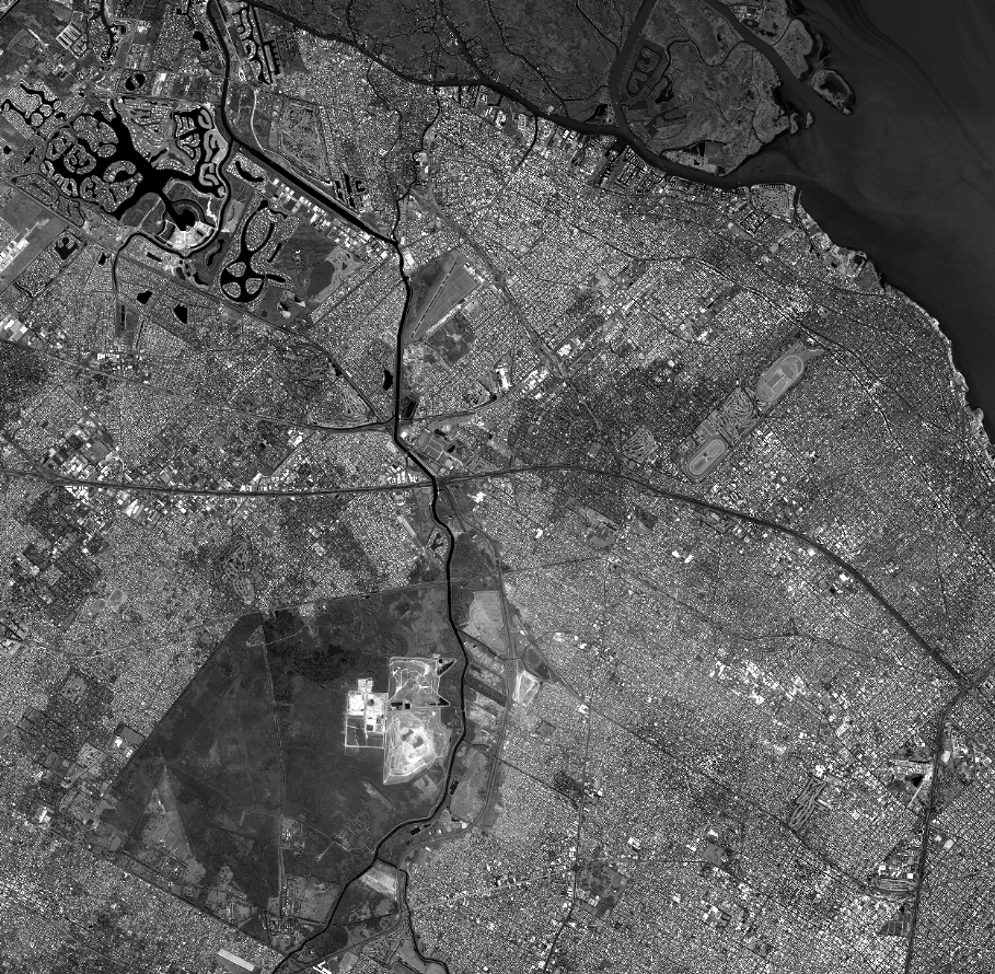
Quicklook
Copyright