TYPE:
SENSOR
LAYER:
DS_PHR1B_201802071401428_FR1_PX_W059S35_0513_01764
FORMAT:
DIMAP
RASTER:
image/jp2
General Information
Map Name
Geometric Processing Level
Radiometric Processing Level
BASIC
Image dimensions
Number of columns
10000
Number of rows
9787
Number of spectral bands
4
Dataset framing
Vertice
Longitude (DEG)
Latitude (DEG)
Row
Col
#1
-58.66900933461571
-34.38147713572906
1
#2
-58.45288265172665
-34.42421776413858
#3
-58.50230494843471
-34.5996238424117
#4
-58.71890058142417
-34.55694245662543
Dataset sources
PHR
Coordinate Reference System
Projected Coordinate System
Geocoding tables identification
EPSG(6.3)
Production
Production Date
2018-05-09T14:20:48.020
Job identification
PRG_FC_170693-002
Dataset Producer Identification
AIRBUS DS GEO
Producer link
http://www.geo-airbusds.com
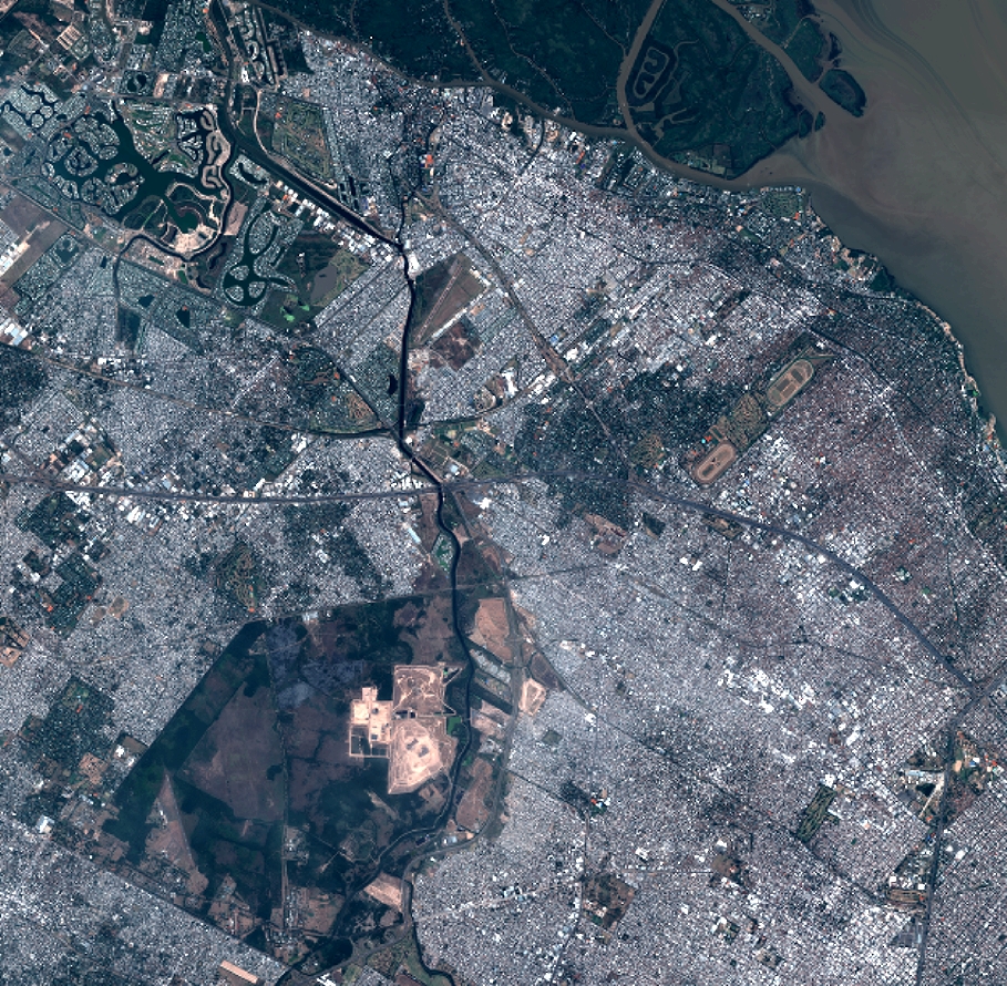
Quicklook
Copyright