TYPE:
SENSOR
LAYER:
DS_PHR1A_201304171036448_FR1_PX_E005N43_0707_01658
FORMAT:
DIMAP
RASTER:
image/jp2
General Information
Map Name
Geometric Processing Level
Radiometric Processing Level
BASIC
Image dimensions
Number of columns
9268
Number of rows
9195
Number of spectral bands
4
Dataset framing
Vertice
Longitude (DEG)
Latitude (DEG)
Row
Col
#1
5.448172773483563
43.36953805587527
1
#2
5.670071289125625
43.32359772002962
#3
5.605960560220597
43.16394878705698
#4
5.38476059215341
43.20994142785746
Dataset sources
PHR
Coordinate Reference System
Projected Coordinate System
Geocoding tables identification
EPSG(6.3)
Production
Production Date
2013-04-19T10:04:56.629
Job identification
616226101-004
Dataset Producer Identification
SISA
Producer link
http://www.spotimage.fr
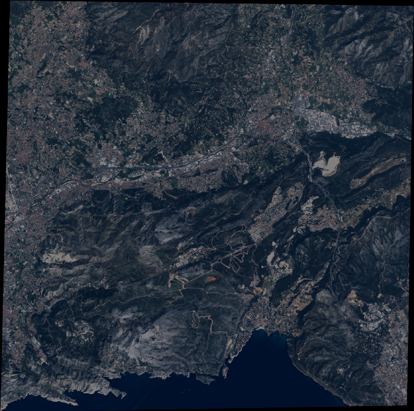
Quicklook
Copyright