TYPE:
SENSOR
LAYER:
DS_PHR1A_201304171036554_FR1_PX_E005N43_0707_01667
FORMAT:
DIMAP
RASTER:
image/jp2
General Information
Map Name
Geometric Processing Level
Radiometric Processing Level
BASIC
Image dimensions
Number of columns
9308
Number of rows
9260
Number of spectral bands
4
Dataset framing
Vertice
Longitude (DEG)
Latitude (DEG)
Row
Col
#1
5.448210290416363
43.36961253423883
1
#2
5.669569804963092
43.3222664784059
#3
5.605859928302191
43.1638131647908
#4
5.385083205780041
43.21074000819259
Dataset sources
PHR
Coordinate Reference System
Projected Coordinate System
Geocoding tables identification
EPSG(6.3)
Production
Production Date
2013-04-19T10:05:22.308
Job identification
616226101-005
Dataset Producer Identification
SISA
Producer link
http://www.spotimage.fr
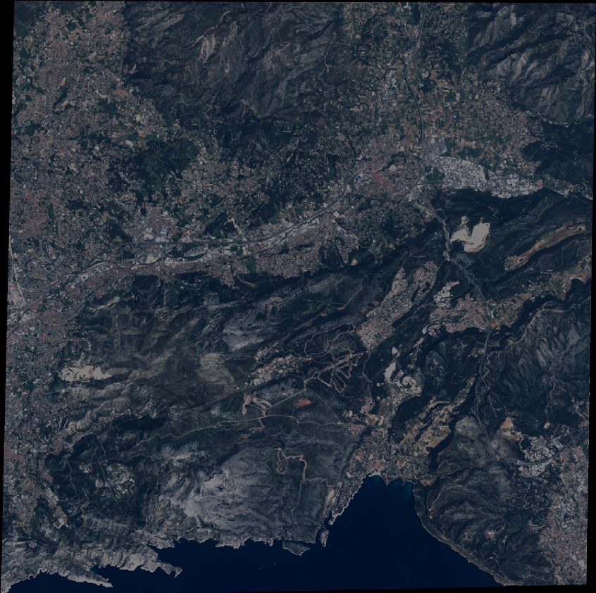
Quicklook
Copyright