TYPE:
SENSOR
LAYER:
DS_PHR1A_201304171037057_FR1_PX_E005N43_0707_01662
FORMAT:
DIMAP
RASTER:
image/jp2
General Information
Map Name
Geometric Processing Level
Radiometric Processing Level
BASIC
Image dimensions
Number of columns
9243
Number of rows
9214
Number of spectral bands
4
Dataset framing
Vertice
Longitude (DEG)
Latitude (DEG)
Row
Col
#1
5.448647620965822
43.37063117799002
1
#2
5.669347486148997
43.32163350456089
#3
5.605335334099419
43.16253350525
#4
5.385028610159595
43.21057310703443
Dataset sources
PHR
Coordinate Reference System
Projected Coordinate System
Geocoding tables identification
EPSG(6.3)
Production
Production Date
2013-04-19T10:05:20.236
Job identification
616226101-006
Dataset Producer Identification
SISA
Producer link
http://www.spotimage.fr
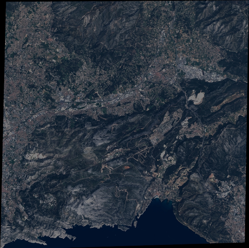
Quicklook
Copyright