TYPE:
SENSOR
LAYER:
DS_PHR1A_201304171036448_FR1_PX_E005N43_0707_01658
FORMAT:
DIMAP
RASTER:
image/jp2
General Information
Map Name
Geometric Processing Level
Radiometric Processing Level
BASIC
Image dimensions
Number of columns
37066
Number of rows
36777
Number of spectral bands
1
Dataset framing
Vertice
Longitude (DEG)
Latitude (DEG)
Row
Col
#1
5.448185448956028
43.36951387399841
#2
5.670049553543336
43.32358243853227
#3
5.605943223166983
43.16394553921256
#4
5.384778911166991
43.20993056688695
Dataset sources
PHR
Coordinate Reference System
Projected Coordinate System
Geocoding tables identification
EPSG(6.3)
Production
Production Date
2013-04-19T10:00:21.322
Job identification
616226101-001
Dataset Producer Identification
SISA
Producer link
http://www.spotimage.fr
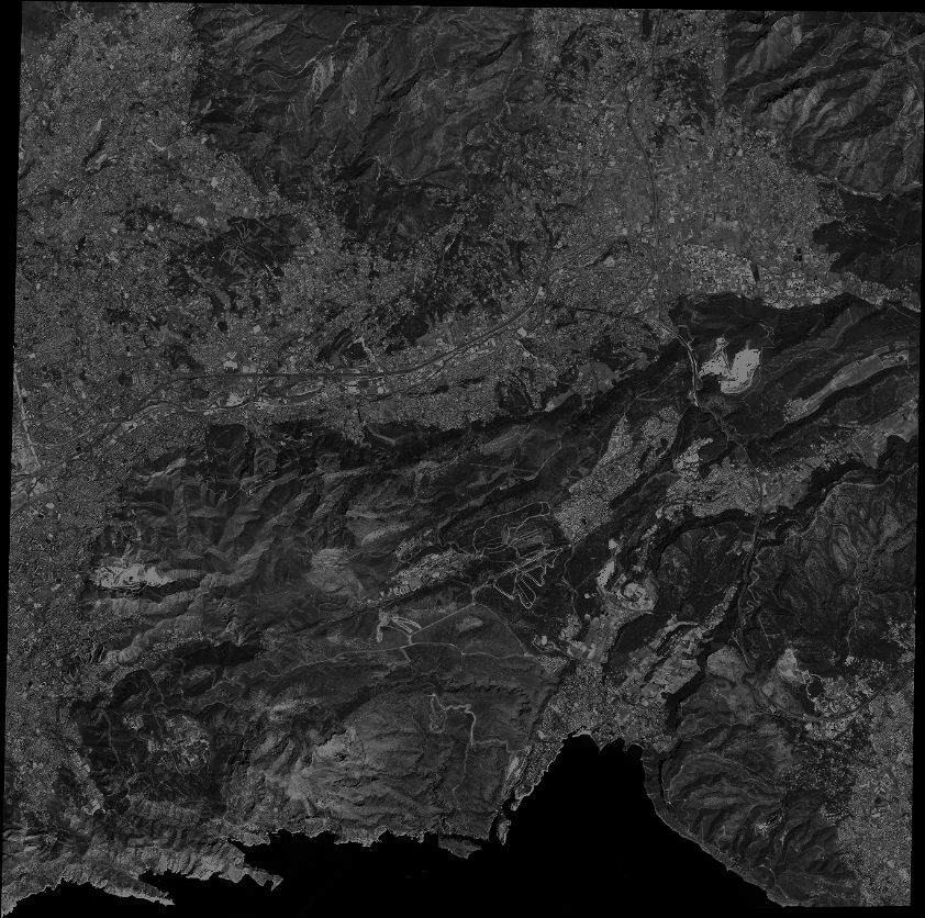
Quicklook
Copyright