TYPE:
SENSOR
LAYER:
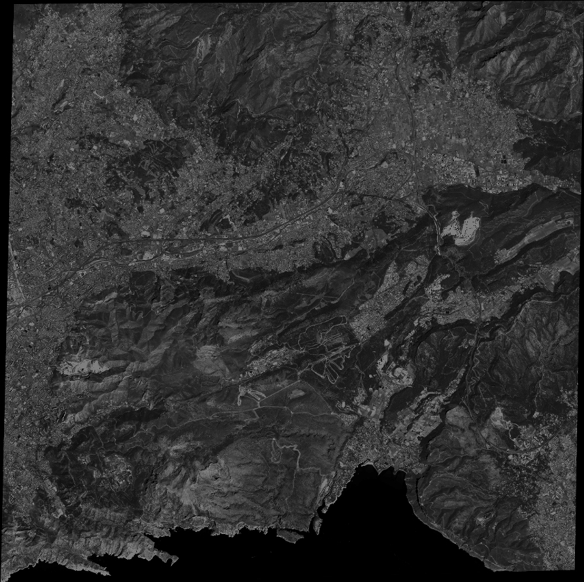
DS_PHR1A_201304171037057_FR1_PX_E005N43_0707_01662
FORMAT:
DIMAP
RASTER:
image/jp2
General Information
Map Name
Geometric Processing Level
Radiometric Processing Level
BASIC
Image dimensions
Number of columns
36965
Number of rows
36855
Number of spectral bands
1
Dataset framing
Vertice
Longitude (DEG)
Latitude (DEG)
Row
Col
#1
5.448658274533371
43.37061705003274
#2
5.669316376234488
43.32162851101309
#3
5.605306059499265
43.16253221177551
#4
5.385040897920257
43.21056352778486
Dataset sources
PHR
Coordinate Reference System
Projected Coordinate System
Geocoding tables identification
EPSG(6.3)
Production
Production Date
2013-04-19T10:00:48.768
Job identification
616226101-003
Dataset Producer Identification
SISA
Producer link
http://www.spotimage.fr
Quicklook
Copyright