TYPE:
SYSTEM_SENSOR
LAYER:
DS_PHR1A_201112241032200_FR1_PX_E007N43_0114_01800
FORMAT:
DIMAP
RASTER:
image/jp2
General Information
Map Name
Geometric Processing Level
Radiometric Processing Level
BASIC
Image dimensions
Number of columns
10375
Number of rows
9923
Number of spectral bands
4
Dataset framing
Vertice
Longitude (DEG)
Latitude (DEG)
Row
Col
#1
6.91151674612085
43.65302743713276
1
#2
7.160250465045265
43.65323914623028
#3
7.159842804226935
43.47364833106894
#4
6.911937478128952
43.47327294006681
Dataset sources
PHR
Coordinate Reference System
Projected Coordinate System
Geocoding tables identification
EPSG(6.3)
Production
Production Date
2012-05-29T16:52:25.777
Job identification
IPU_20120529_1536-002
Dataset Producer Identification
Astrium Services / Spot Image
Producer link
http://www.astrium-geo.com/
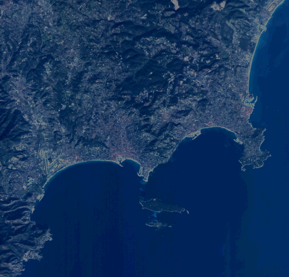
Quicklook
Copyright