TYPE:
SYSTEM_SENSOR
LAYER:
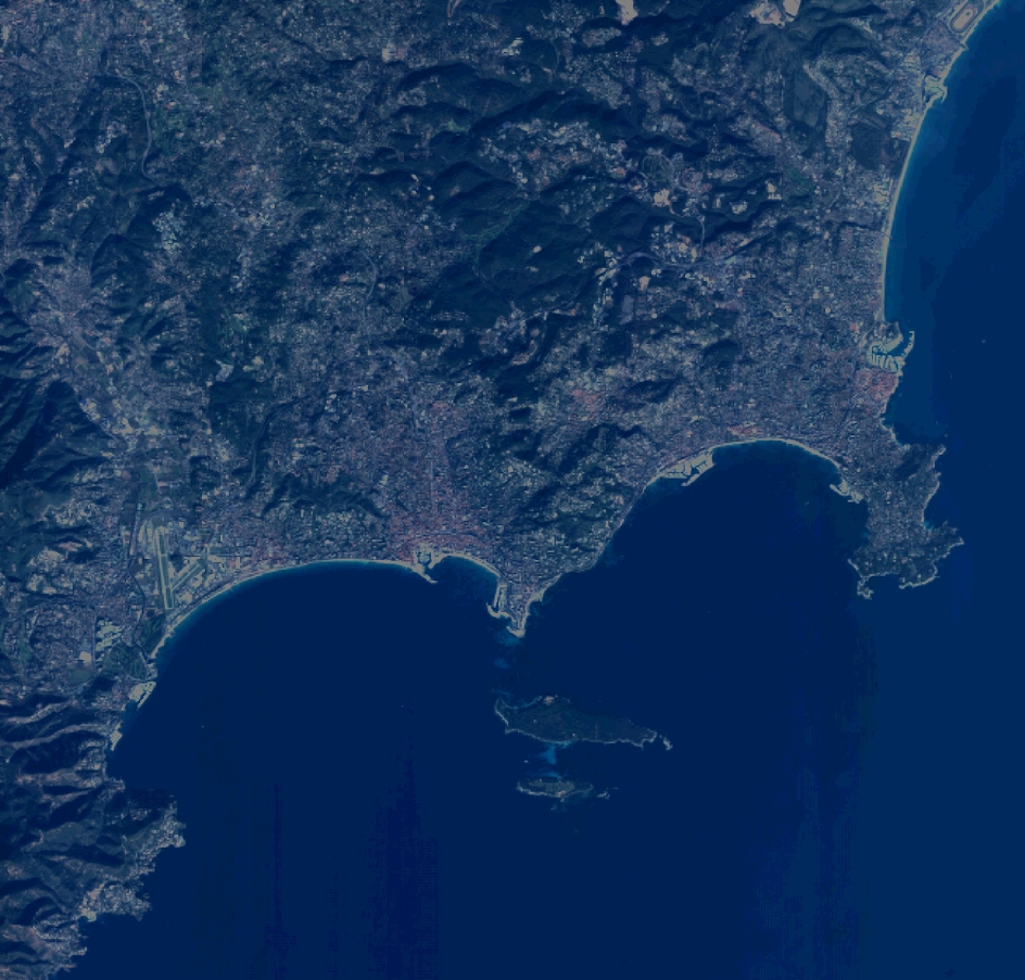
DS_PHR1A_201112241032309_FR1_PX_E007N43_0114_01800
FORMAT:
DIMAP
RASTER:
image/jp2
General Information
Map Name
Geometric Processing Level
Radiometric Processing Level
BASIC
Image dimensions
Number of columns
10375
Number of rows
9923
Number of spectral bands
4
Dataset framing
Vertice
Longitude (DEG)
Latitude (DEG)
Row
Col
#1
6.911875619393475
43.65108621334827
1
#2
7.159717356929696
43.65111222988536
#3
7.159349716652732
43.47254518488937
#4
6.912232931233156
43.47253239787862
Dataset sources
PHR
Coordinate Reference System
Projected Coordinate System
Geocoding tables identification
EPSG(6.3)
Production
Production Date
2012-05-29T16:47:57.534
Job identification
IPU_20120529_1526-002
Dataset Producer Identification
Astrium Services / Spot Image
Producer link
http://www.astrium-geo.com/
Quicklook
Copyright