TYPE:
SYSTEM_SENSOR
LAYER:
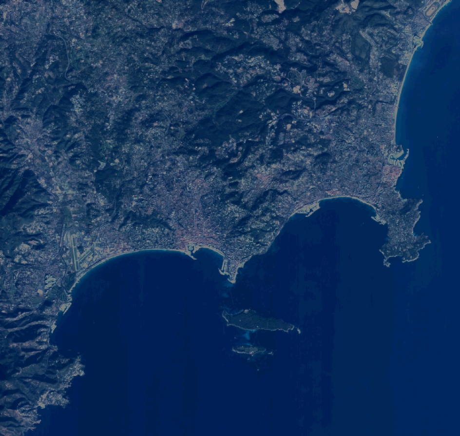
DS_PHR1A_201112241032413_FR1_PX_E007N43_0114_01783
FORMAT:
DIMAP
RASTER:
image/jp2
General Information
Map Name
Geometric Processing Level
Radiometric Processing Level
BASIC
Image dimensions
Number of columns
10375
Number of rows
9828
Number of spectral bands
4
Dataset framing
Vertice
Longitude (DEG)
Latitude (DEG)
Row
Col
#1
6.91069017890115
43.65142244701342
1
#2
7.16074550852577
43.65234565227103
#3
7.160371814843766
43.47222754752117
#4
6.911002071937252
43.47143583065389
Dataset sources
PHR
Coordinate Reference System
Projected Coordinate System
Geocoding tables identification
EPSG(6.3)
Production
Production Date
2012-05-29T16:48:44.931
Job identification
IPU_20120529_1531-002
Dataset Producer Identification
Astrium Services / Spot Image
Producer link
http://www.astrium-geo.com/
Quicklook
Copyright