TYPE:
SYSTEM_SENSOR
LAYER:
DS_PHR1A_201112241032200_FR1_PX_E007N43_0114_01800
FORMAT:
DIMAP
RASTER:
image/jp2
General Information
Map Name
Geometric Processing Level
Radiometric Processing Level
BASIC
Image dimensions
Number of columns
41500
Number of rows
39692
Number of spectral bands
1
Dataset framing
Vertice
Longitude (DEG)
Latitude (DEG)
Row
Col
#1
6.911525789274117
43.65302071936019
#2
7.160259224330281
43.65323235733639
#3
7.1598515756915
43.47364155774579
#4
6.911946121135958
43.47326572225563
Dataset sources
PHR
Coordinate Reference System
Projected Coordinate System
Geocoding tables identification
EPSG(6.3)
Production
Production Date
2012-05-29T16:47:02.446
Job identification
IPU_20120529_1536-001
Dataset Producer Identification
Astrium Services / Spot Image
Producer link
http://www.astrium-geo.com/
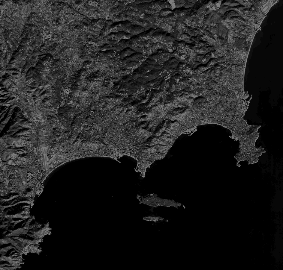
Quicklook
Copyright