TYPE:
SYSTEM_SENSOR
LAYER:
DS_PHR1A_201112241032309_FR1_PX_E007N43_0114_01800
FORMAT:
DIMAP
RASTER:
image/jp2
General Information
Map Name
Geometric Processing Level
Radiometric Processing Level
BASIC
Image dimensions
Number of columns
41500
Number of rows
39692
Number of spectral bands
1
Dataset framing
Vertice
Longitude (DEG)
Latitude (DEG)
Row
Col
#1
6.911884663525584
43.65107940560831
#2
7.159726108473637
43.65110547823932
#3
7.159358471283965
43.47253844123886
#4
6.912241762549146
43.47252585082173
Dataset sources
PHR
Coordinate Reference System
Projected Coordinate System
Geocoding tables identification
EPSG(6.3)
Production
Production Date
2012-05-29T16:45:34.173
Job identification
IPU_20120529_1526-001
Dataset Producer Identification
Astrium Services / Spot Image
Producer link
http://www.astrium-geo.com/
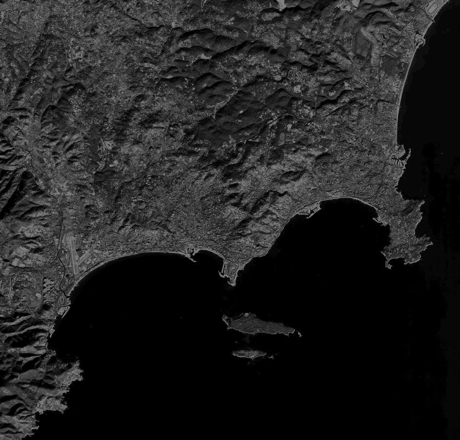
Quicklook
Copyright