TYPE:
SYSTEM_SENSOR
LAYER:
DS_PHR1A_201112241032413_FR1_PX_E007N43_0114_01783
FORMAT:
DIMAP
RASTER:
image/jp2
General Information
Map Name
Geometric Processing Level
Radiometric Processing Level
BASIC
Image dimensions
Number of columns
41500
Number of rows
39312
Number of spectral bands
1
Dataset framing
Vertice
Longitude (DEG)
Latitude (DEG)
Row
Col
#1
6.91069923274818
43.65141537337014
#2
7.160754370745989
43.65233881133931
#3
7.160380643402062
43.47222070122974
#4
6.911011134307437
43.47142948437975
Dataset sources
PHR
Coordinate Reference System
Projected Coordinate System
Geocoding tables identification
EPSG(6.3)
Production
Production Date
2012-05-29T16:45:41.321
Job identification
IPU_20120529_1531-001
Dataset Producer Identification
Astrium Services / Spot Image
Producer link
http://www.astrium-geo.com/
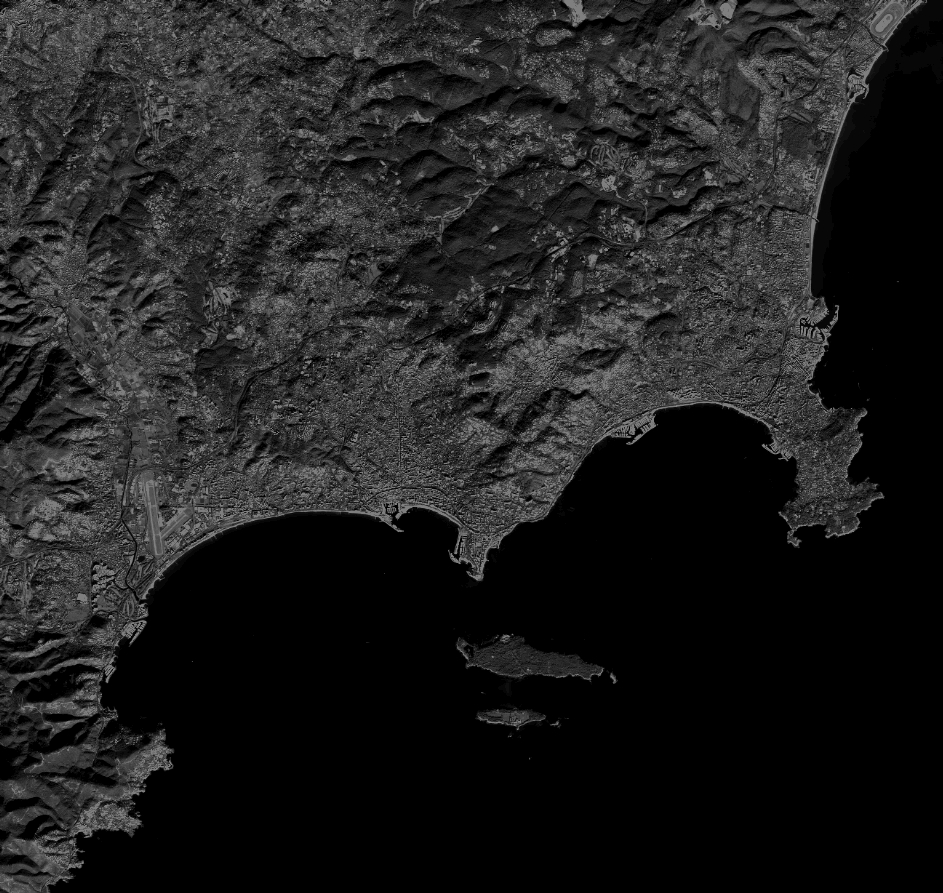
Quicklook
Copyright