TYPE:
SENSOR
LAYER:
DS_PHR1B_201508151726414_FR1_PX_W097N35_0424_01027
FORMAT:
DIMAP
RASTER:
image/jp2
General Information
Map Name
Geometric Processing Level
Radiometric Processing Level
BASIC
Image dimensions
Number of columns
3657
Number of rows
5639
Number of spectral bands
4
Dataset framing
Vertice
Longitude (DEG)
Latitude (DEG)
Row
Col
#1
-96.78596338833411
36.02420214093691
1
#2
-96.6924388356297
36.03310478574657
#3
-96.69263621610828
35.91192130083969
#4
-96.78601075210734
35.90350703417642
Dataset sources
PHR
Coordinate Reference System
Projected Coordinate System
Geocoding tables identification
EPSG(6.3)
Production
Production Date
2018-06-16T19:13:06.419
Job identification
3072417101-2
Dataset Producer Identification
AIRBUS DS GEO
Producer link
http://www.geo-airbusds.com
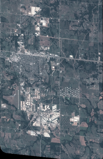
Quicklook
Copyright