TYPE:
SENSOR
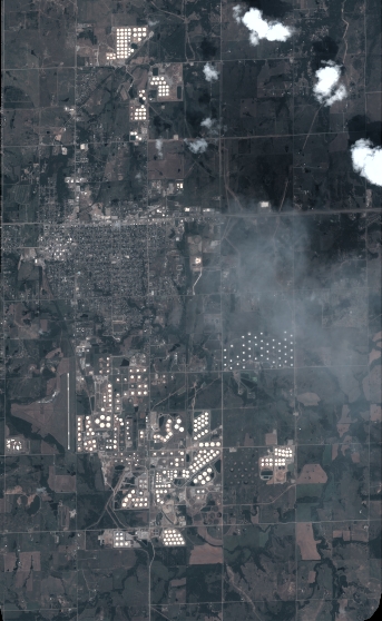
LAYER:
DS_PHR1B_201508171711005_FR1_PX_W097N35_0424_01117
FORMAT:
DIMAP
RASTER:
image/jp2
General Information
Map Name
Geometric Processing Level
Radiometric Processing Level
BASIC
Image dimensions
Number of columns
3778
Number of rows
6146
Number of spectral bands
4
Dataset framing
Vertice
Longitude (DEG)
Latitude (DEG)
Row
Col
#1
-96.78624680860011
36.02795621581529
1
#2
-96.69259521471747
36.0249798926662
#3
-96.69262673560405
35.90863633512387
#4
-96.78595002675259
35.9111827518328
Dataset sources
PHR
Coordinate Reference System
Projected Coordinate System
Geocoding tables identification
EPSG(6.3)
Production
Production Date
2018-06-16T19:15:21.144
Job identification
3072419101-2
Dataset Producer Identification
AIRBUS DS GEO
Producer link
http://www.geo-airbusds.com
Quicklook
Copyright