TYPE:
SENSOR
LAYER:
DS_PHR1B_201806081718005_FR1_PX_W097N35_0424_01115
FORMAT:
DIMAP
RASTER:
image/jp2
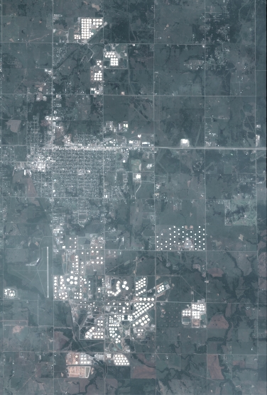
General Information
Map Name
Geometric Processing Level
Radiometric Processing Level
BASIC
Image dimensions
Number of columns
4141
Number of rows
6135
Number of spectral bands
4
Dataset framing
Vertice
Longitude (DEG)
Latitude (DEG)
Row
Col
#1
-96.78602468478319
36.02661285016585
1
#2
-96.69251422625558
36.02748695573581
#3
-96.69262552789901
35.91640187021591
#4
-96.78595421439947
35.91533520915473
Dataset sources
PHR
Coordinate Reference System
Projected Coordinate System
Geocoding tables identification
EPSG(6.3)
Production
Production Date
2018-06-16T14:14:57.852
Job identification
3072505101-2
Dataset Producer Identification
AIRBUS DS GEO
Producer link
http://www.geo-airbusds.com
Quicklook
Copyright