TYPE:
SENSOR
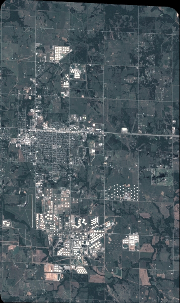
LAYER:
DS_PHR1A_201805261717449_FR1_PX_W097N35_0424_01194
FORMAT:
DIMAP
RASTER:
image/jp2
General Information
Map Name
Geometric Processing Level
Radiometric Processing Level
BASIC
Image dimensions
Number of columns
3929
Number of rows
6607
Number of spectral bands
4
Dataset framing
Vertice
Longitude (DEG)
Latitude (DEG)
Row
Col
#1
-96.78607578392017
36.04050679631836
1
#2
-96.69257694779641
36.04438178949336
#3
-96.692622989189
35.91380044354125
#4
-96.78593846103981
35.90959530528102
Dataset sources
PHR
Coordinate Reference System
Projected Coordinate System
Geocoding tables identification
EPSG(6.3)
Production
Production Date
2018-06-16T14:28:49.061
Job identification
3072510101-2
Dataset Producer Identification
AIRBUS DS GEO
Producer link
http://www.geo-airbusds.com
Quicklook
Copyright