TYPE:
SENSOR
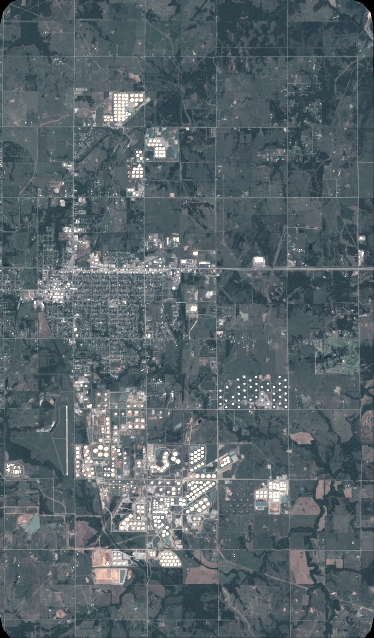
LAYER:
DS_PHR1A_201805191721349_FR1_PX_W097N35_0424_01268
FORMAT:
DIMAP
RASTER:
image/jp2
General Information
Map Name
Geometric Processing Level
Radiometric Processing Level
BASIC
Image dimensions
Number of columns
4120
Number of rows
7024
Number of spectral bands
4
Dataset framing
Vertice
Longitude (DEG)
Latitude (DEG)
Row
Col
#1
-96.7860393677965
36.0408042915778
1
#2
-96.69254003827918
36.04104326014982
#3
-96.69261132836321
35.90965668702231
#4
-96.78596305295517
35.9093478643366
Dataset sources
PHR
Coordinate Reference System
Projected Coordinate System
Geocoding tables identification
EPSG(6.3)
Production
Production Date
2018-06-16T14:25:02.739
Job identification
3072512101-2
Dataset Producer Identification
AIRBUS DS GEO
Producer link
http://www.geo-airbusds.com
Quicklook
Copyright