TYPE:
SENSOR
LAYER:
DS_PHR1B_201805111733026_FR1_PX_W097N35_0424_01234
FORMAT:
DIMAP
RASTER:
image/jp2
General Information
Map Name
Geometric Processing Level
Radiometric Processing Level
BASIC
Image dimensions
Number of columns
3613
Number of rows
6804
Number of spectral bands
4
Dataset framing
Vertice
Longitude (DEG)
Latitude (DEG)
Row
Col
#1
-96.78597404319797
36.04328366552072
1
#2
-96.69257468374825
36.03989907467396
#3
-96.69262697858358
35.90768041336919
#4
-96.78618636972365
35.91162668787474
Dataset sources
PHR
Coordinate Reference System
Projected Coordinate System
Geocoding tables identification
EPSG(6.3)
Production
Production Date
2018-06-16T14:25:58.811
Job identification
3072515101-2
Dataset Producer Identification
AIRBUS DS GEO
Producer link
http://www.geo-airbusds.com
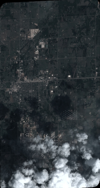
Quicklook
Copyright