TYPE:
SENSOR
LAYER:
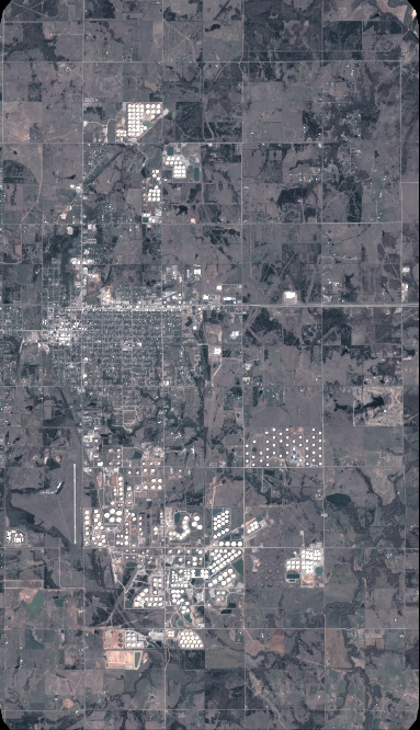
DS_PHR1B_201804101722025_FR1_PX_W097N35_0424_01328
FORMAT:
DIMAP
RASTER:
image/jp2
General Information
Map Name
Geometric Processing Level
Radiometric Processing Level
BASIC
Image dimensions
Number of columns
4213
Number of rows
7333
Number of spectral bands
4
Dataset framing
Vertice
Longitude (DEG)
Latitude (DEG)
Row
Col
#1
-96.78598379600113
36.04032260438044
1
#2
-96.69253495931318
36.0403011963549
#3
-96.69263495959471
35.90950635487469
#4
-96.78595471482511
35.90958774131642
Dataset sources
PHR
Coordinate Reference System
Projected Coordinate System
Geocoding tables identification
EPSG(6.3)
Production
Production Date
2018-06-16T14:28:05.302
Job identification
3072526101-2
Dataset Producer Identification
AIRBUS DS GEO
Producer link
http://www.geo-airbusds.com
Quicklook
Copyright