TYPE:
SENSOR
LAYER:
DS_PHR1A_201804041718153_FR1_PX_W097N35_0424_01192
FORMAT:
DIMAP
RASTER:
image/jp2
General Information
Map Name
Geometric Processing Level
Radiometric Processing Level
BASIC
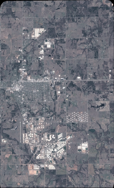
Image dimensions
Number of columns
4021
Number of rows
6591
Number of spectral bands
4
Dataset framing
Vertice
Longitude (DEG)
Latitude (DEG)
Row
Col
#1
-96.78605007940943
36.04181727573311
1
#2
-96.69247422212968
36.04107362856424
#3
-96.69261776755965
35.91092598306287
#4
-96.785956543119
35.91169084644672
Dataset sources
PHR
Coordinate Reference System
Projected Coordinate System
Geocoding tables identification
EPSG(6.3)
Production
Production Date
2018-06-16T14:26:01.261
Job identification
3072528101-2
Dataset Producer Identification
AIRBUS DS GEO
Producer link
http://www.geo-airbusds.com
Quicklook
Copyright