TYPE:
SENSOR
LAYER:
DS_PHR1A_201804041718153_FR1_PX_W097N35_0424_01192
FORMAT:
DIMAP
RASTER:
image/jp2
General Information
Map Name
Geometric Processing Level
Radiometric Processing Level
BASIC
Image dimensions
Number of columns
16081
Number of rows
26363
Number of spectral bands
1
Dataset framing
Vertice
Longitude (DEG)
Latitude (DEG)
Row
Col
#1
-96.78606427618745
36.04181940358778
#2
-96.69248840195081
36.04107558625962
#3
-96.6926325294242
35.91091890555798
#4
-96.7859712945707
35.91168392414131
Dataset sources
PHR
Coordinate Reference System
Projected Coordinate System
Geocoding tables identification
EPSG(6.3)
Production
Production Date
2018-06-16T14:25:21.211
Job identification
3072528101-1
Dataset Producer Identification
AIRBUS DS GEO
Producer link
http://www.geo-airbusds.com
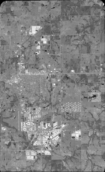
Quicklook
Copyright