TYPE:
SENSOR
LAYER:
DS_PHR1B_201803151722190_FR1_PX_W097N35_0424_01315
FORMAT:
DIMAP
RASTER:
image/jp2
General Information
Map Name
Geometric Processing Level
Radiometric Processing Level
BASIC
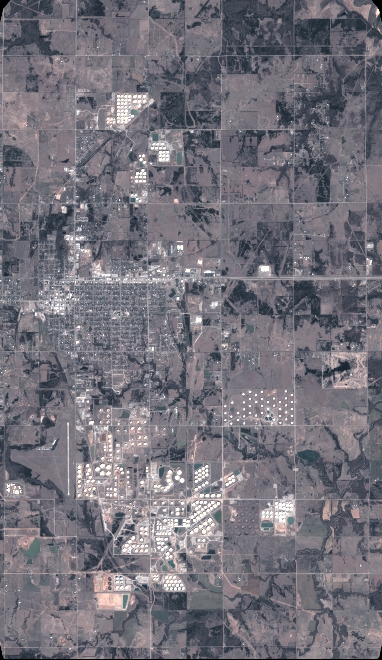
Image dimensions
Number of columns
4212
Number of rows
7260
Number of spectral bands
4
Dataset framing
Vertice
Longitude (DEG)
Latitude (DEG)
Row
Col
#1
-96.78601501959885
36.04020805234031
1
#2
-96.69255150682707
36.04026454429219
#3
-96.69263960326434
35.91075857076618
#4
-96.78597637243119
35.91077323554493
Dataset sources
PHR
Coordinate Reference System
Projected Coordinate System
Geocoding tables identification
EPSG(6.3)
Production
Production Date
2018-06-16T14:28:05.278
Job identification
3072533101-2
Dataset Producer Identification
AIRBUS DS GEO
Producer link
http://www.geo-airbusds.com
Quicklook
Copyright