TYPE:
SENSOR
LAYER:
DS_PHR1B_201803151722190_FR1_PX_W097N35_0424_01315
FORMAT:
DIMAP
RASTER:
image/jp2
General Information
Map Name
Geometric Processing Level
Radiometric Processing Level
BASIC
Image dimensions
Number of columns
16846
Number of rows
29040
Number of spectral bands
1
Dataset framing
Vertice
Longitude (DEG)
Latitude (DEG)
Row
Col
#1
-96.78601752274858
36.04020883413995
#2
-96.6925484661862
36.0402654317425
#3
-96.69263619571025
35.91074603732559
#4
-96.78597851973467
35.91076060678529
Dataset sources
PHR
Coordinate Reference System
Projected Coordinate System
Geocoding tables identification
EPSG(6.3)
Production
Production Date
2018-06-16T14:27:58.976
Job identification
3072533101-1
Dataset Producer Identification
AIRBUS DS GEO
Producer link
http://www.geo-airbusds.com
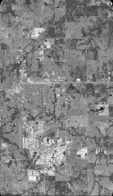
Quicklook
Copyright