TYPE:
SENSOR
LAYER:
DS_PHR1A_201803141728514_FR1_PX_W097N35_0424_01269
FORMAT:
DIMAP
RASTER:
image/jp2
General Information
Map Name
Geometric Processing Level
Radiometric Processing Level
BASIC
Image dimensions
Number of columns
15658
Number of rows
28116
Number of spectral bands
1
Dataset framing
Vertice
Longitude (DEG)
Latitude (DEG)
Row
Col
#1
-96.78597738524422
36.04253198625575
#2
-96.6925788476706
36.04053117461537
#3
-96.69263780902246
35.90958728417374
#4
-96.7860941780624
35.91198719798868
Dataset sources
PHR
Coordinate Reference System
Projected Coordinate System
Geocoding tables identification
EPSG(6.3)
Production
Production Date
2018-06-16T14:29:15.449
Job identification
3072534101-1
Dataset Producer Identification
AIRBUS DS GEO
Producer link
http://www.geo-airbusds.com
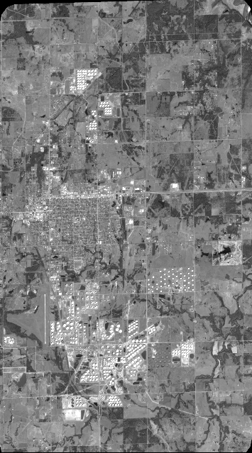
Quicklook
Copyright