TYPE:
SENSOR
LAYER:
DS_PHR1A_201803071732283_FR1_PX_W097N35_0424_01084
FORMAT:
DIMAP
RASTER:
image/jp2
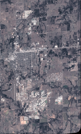
General Information
Map Name
Geometric Processing Level
Radiometric Processing Level
BASIC
Image dimensions
Number of columns
3631
Number of rows
5988
Number of spectral bands
4
Dataset framing
Vertice
Longitude (DEG)
Latitude (DEG)
Row
Col
#1
-96.78596799112158
36.03332638014432
1
#2
-96.69259133917495
36.0268638223747
#3
-96.6926090581421
35.90702358736146
#4
-96.78610647888704
35.9139533860821
Dataset sources
PHR
Coordinate Reference System
Projected Coordinate System
Geocoding tables identification
EPSG(6.3)
Production
Production Date
2018-06-16T14:37:04.458
Job identification
3072535101-2
Dataset Producer Identification
AIRBUS DS GEO
Producer link
http://www.geo-airbusds.com
Quicklook
Copyright