TYPE:
SENSOR
LAYER:
DS_PHR1B_201803031715030_FR1_PX_W097N35_0424_01116
FORMAT:
DIMAP
RASTER:
image/jp2
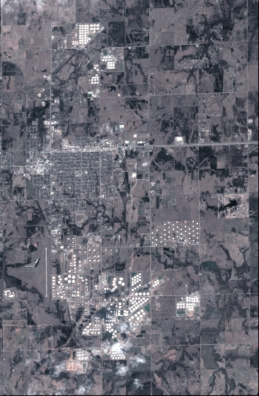
General Information
Map Name
Geometric Processing Level
Radiometric Processing Level
BASIC
Image dimensions
Number of columns
4028
Number of rows
6140
Number of spectral bands
4
Dataset framing
Vertice
Longitude (DEG)
Latitude (DEG)
Row
Col
#1
-96.78613104473044
36.02966036600186
1
#2
-96.69254460731365
36.02698306908881
#3
-96.69261042304268
35.9122882320988
#4
-96.78595820750017
35.91475251260637
Dataset sources
PHR
Coordinate Reference System
Projected Coordinate System
Geocoding tables identification
EPSG(6.3)
Production
Production Date
2018-06-16T14:30:01.000
Job identification
3072536101-2
Dataset Producer Identification
AIRBUS DS GEO
Producer link
http://www.geo-airbusds.com
Quicklook
Copyright