TYPE:
SENSOR
LAYER:
DS_PHR1A_201801281724558_FR1_PX_W097N35_0424_01009
FORMAT:
DIMAP
RASTER:
image/jp2
General Information
Map Name
Geometric Processing Level
Radiometric Processing Level
BASIC
Image dimensions
Number of columns
15655
Number of rows
22264
Number of spectral bands
1
Dataset framing
Vertice
Longitude (DEG)
Latitude (DEG)
Row
Col
#1
-96.78597091652908
36.02885353256427
#2
-96.69257896768411
36.02674902904253
#3
-96.69262921239373
35.91150999060164
#4
-96.78599974873651
35.91362712884144
Dataset sources
PHR
Coordinate Reference System
Projected Coordinate System
Geocoding tables identification
EPSG(6.3)
Production
Production Date
2018-06-16T14:31:12.630
Job identification
3072545101-1
Dataset Producer Identification
AIRBUS DS GEO
Producer link
http://www.geo-airbusds.com
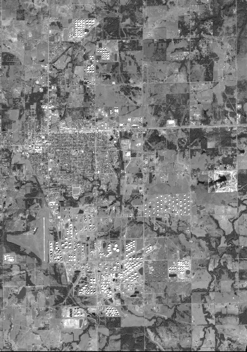
Quicklook
Copyright