TYPE:
SENSOR
LAYER:
DS_PHR1B_201801171711138_FR1_PX_W097N35_0424_01118
FORMAT:
DIMAP
RASTER:
image/jp2
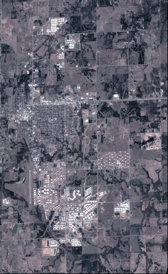
General Information
Map Name
Geometric Processing Level
Radiometric Processing Level
BASIC
Image dimensions
Number of columns
3774
Number of rows
6151
Number of spectral bands
4
Dataset framing
Vertice
Longitude (DEG)
Latitude (DEG)
Row
Col
#1
-96.78604771777778
36.03047395688818
1
#2
-96.69240483769124
36.02745441372421
#3
-96.69260657082494
35.91089012269517
#4
-96.78595186069651
35.91348592331263
Dataset sources
PHR
Coordinate Reference System
Projected Coordinate System
Geocoding tables identification
EPSG(6.3)
Production
Production Date
2018-06-16T14:35:51.216
Job identification
3072549101-2
Dataset Producer Identification
AIRBUS DS GEO
Producer link
http://www.geo-airbusds.com
Quicklook
Copyright